Coastal hazards
In short: Coastal erosion is the loss of beach and dune sand to waves, tides, currents and wind, typically during storms. On the Central Coast it has severely affected private and public land at Wamberal Beach and The Entrance North. Before you buy, build or extend near the beach, check the planning certificate and Council's coastal hazard mapping. In mapped hazard areas, Council's rules set building lines, footing design and engineering reports.
Key takeaways
- Central Coast Council says Wamberal Beach has some of the worst coastal erosion impacts of any NSW beach; homes were lost there in 1978.
- The certified Open Coast Coastal Management Program counts 72 private buildings at Terrigal and Wamberal at immediate risk from beach erosion.
- A planning certificate shows coastal hazards identified in an adopted council policy; Council's enquiry form gives the accurate hazard line for a site.
- In southern Central Coast hazard areas, footings must bear safely below or beyond the calculated zone of reduced foundation capacity.
- Council's planning rules warn that many general insurance policies exclude storm surge, coastal erosion and gradual sea level rise.
Buying, building or extending near the beach? Get a quote or call 02 4326 9026, and send us the planning certificate and any plans you have.
What is coastal erosion?
Coastal erosion is the loss of sand from beaches and dunes as waves, tides, currents and wind carry it away, typically during storms. The NSW Department of Climate Change, Energy, the Environment and Water (DCCEEW) describes two kinds:
- Beach fluctuation: a beach erodes in a storm, then gradually recovers over the following weeks or months. After severe storms, full recovery may take a decade or longer.
- Shoreline recession: the shoreline moves landward over decades to centuries, because less sand reaches the beach than it loses.
DCCEEW projects that sea-level rise will drive shoreline recession. Central Coast Council says climate change, rising sea levels and increased storm frequency are expected to worsen coastal erosion.
How does coastal erosion damage a house?
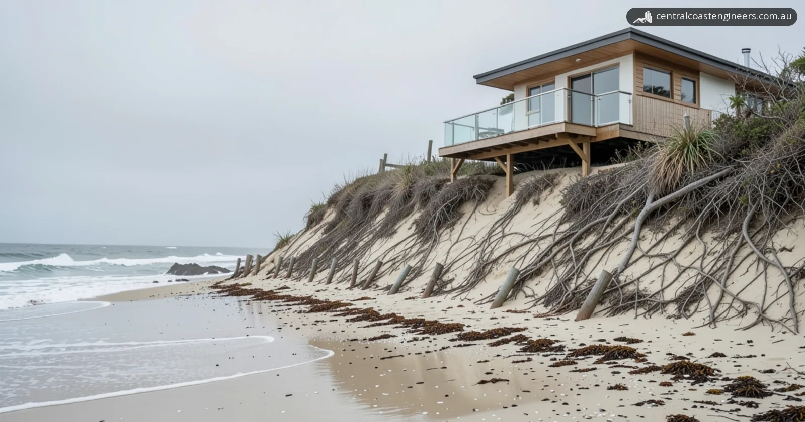
Coastal erosion damages a house by removing the sand that supports it, so the dune face can slump and the house, deck or pool can be undermined. Chapter 3.2 of Central Coast Council's Development Control Plan 2022 (the DCP) describes a storm cutting into the dune (a "storm bite"), which may be followed by the slope adjusting and slumping. It also lists flooding of low-lying land by waves overtopping the dunes, and wave run-up, which can add to storm damage.
Where is coastal erosion worst on the Central Coast?
Wamberal and The Entrance North are among the Central Coast locations at highest risk from coastal hazards, according to the certified Open Coast Coastal Management Program (CMP). It says both are subject to extreme risk from beach erosion, with public and private infrastructure worth hundreds of millions of dollars at immediate risk.
The CMP lists private buildings at immediate risk from beach erosion in four areas, and none at its other open-coast locations:
| Location (CMP grouping) | Private buildings at immediate risk from beach erosion |
|---|---|
| Terrigal, Wamberal | 72 |
| The Entrance, The Entrance North | 34 |
| MacMasters Beach, Copacabana | 7 |
| Norah Head, Noraville | 5 |
Council says Wamberal Beach has some of the worst coastal erosion impacts of any beach in NSW. Storms in 1974 threatened all its beachfront properties, two houses were washed away in June 1978, and about 54 residents were evacuated in July 2020. Council says the 2020 event was not rare and has a 50% chance of occurring in any given year.
How do you check a property's coastal erosion risk?
Start with the property's section 10.7 planning certificate, then check Council's coastal hazard maps and ask Council for the hazard line on the site:
- Planning certificate. NSW Planning circular PS 21-033 says a coastal hazard identified in a policy adopted by the council is to be included on the certificate. A planning certificate is a mandatory part of NSW conveyancing.
- Hazard maps. The DCP has coastal hazard maps for a Northern Area (Budgewoi Beach to Yumbool Point) and a Southern Area (Wamberal Beach to Patonga Beach). The CMP's Appendix A maps hazards for planning periods out to 2120.
- Coastal Hazard Enquiry Form. Lodge one, and Council provides the accurate position of the hazard line from its GIS maps.
- Title and insurance. The DCP generally requires a positive covenant, restriction on use or indemnity on the title for development in coastal hazard areas. It also warns that many general insurance policies in Australia exclude storm surge, coastal erosion and gradual sea level rise.
Treat any map as a snapshot: PS 21-033 notes that exposure to coastal hazards can change suddenly. And no coastal vulnerability area has yet been mapped for the Central Coast under State Environmental Planning Policy (Resilience and Hazards) 2021 (the SEPP); the CMP says Council plans a planning proposal to add one.
What are the rules for building near an eroding beach on the Central Coast?
Building in a Central Coast coastal hazard area generally needs a development application (DA): the DCP's Chapter 3.2 says complying development generally may not be carried out there. For any development in the coastal zone, the SEPP says consent must not be granted unless the consent authority is satisfied the development is not likely to cause increased risk of coastal hazards on that land or other land. The DCP also says consent must not be granted unless Council is satisfied the development meets the SEPP's controls for coastal vulnerability areas, which include buildings being engineered to withstand current and projected coastal hazards for their design life.
| DCP rule | Southern Area (Wamberal to Patonga) | Northern Area (Budgewoi to Yumbool Point) |
|---|---|---|
| Hazard lines | Coastal building line and mapped coastal hazard areas | Immediate (red), High (amber) and Low (yellow) Risk planning lines |
| Where new building can go | All new development landward of the coastal building line, with limited exemptions | Generally no new habitable development in the Immediate or High Risk zones, unless coastal and geotechnical assessments show adequate protection or adaptation measures can be designed and implemented |
| Reports with the DA | Specialist coastal engineering, geotechnical and structural engineering reports | In the High and Immediate Risk zones, a coastal and geotechnical assessment for new buildings and major additions with continuous footings, slabs (including pools) or masonry |
In the Southern Area, the coastal building line is the most landward of the 2050 zone of slope adjustment, a setback from the seaward boundary of 6 m (single storey) or 10 m (multi storey), or a previously adopted building line.
The DCP chapter is based on older coastal zone management plans; the certified Open Coast CMP includes an action to update the controls, so confirm the current rules with Council.
What footings does a beachfront house need?
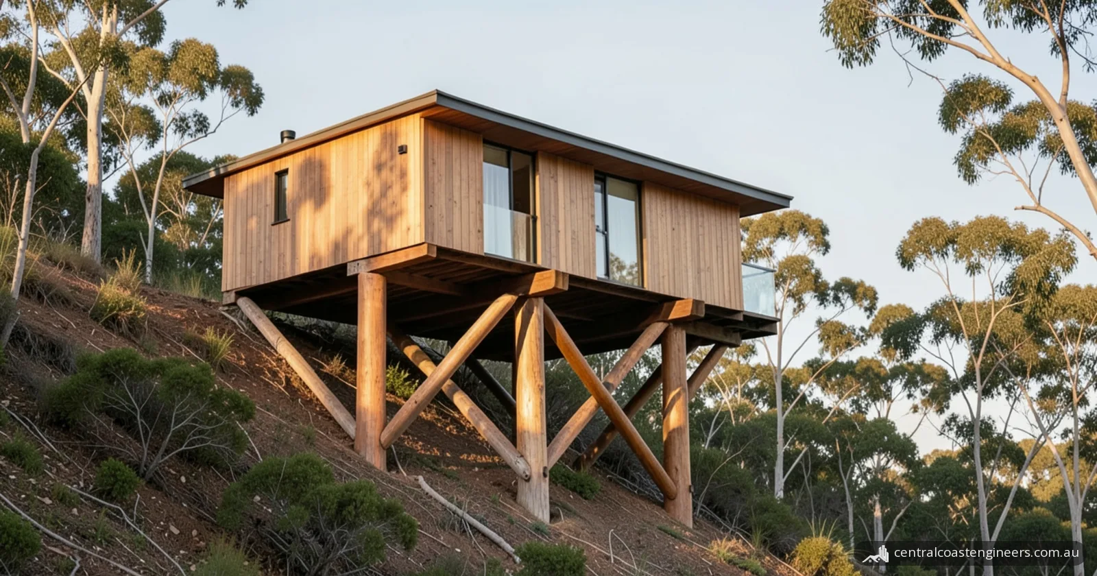
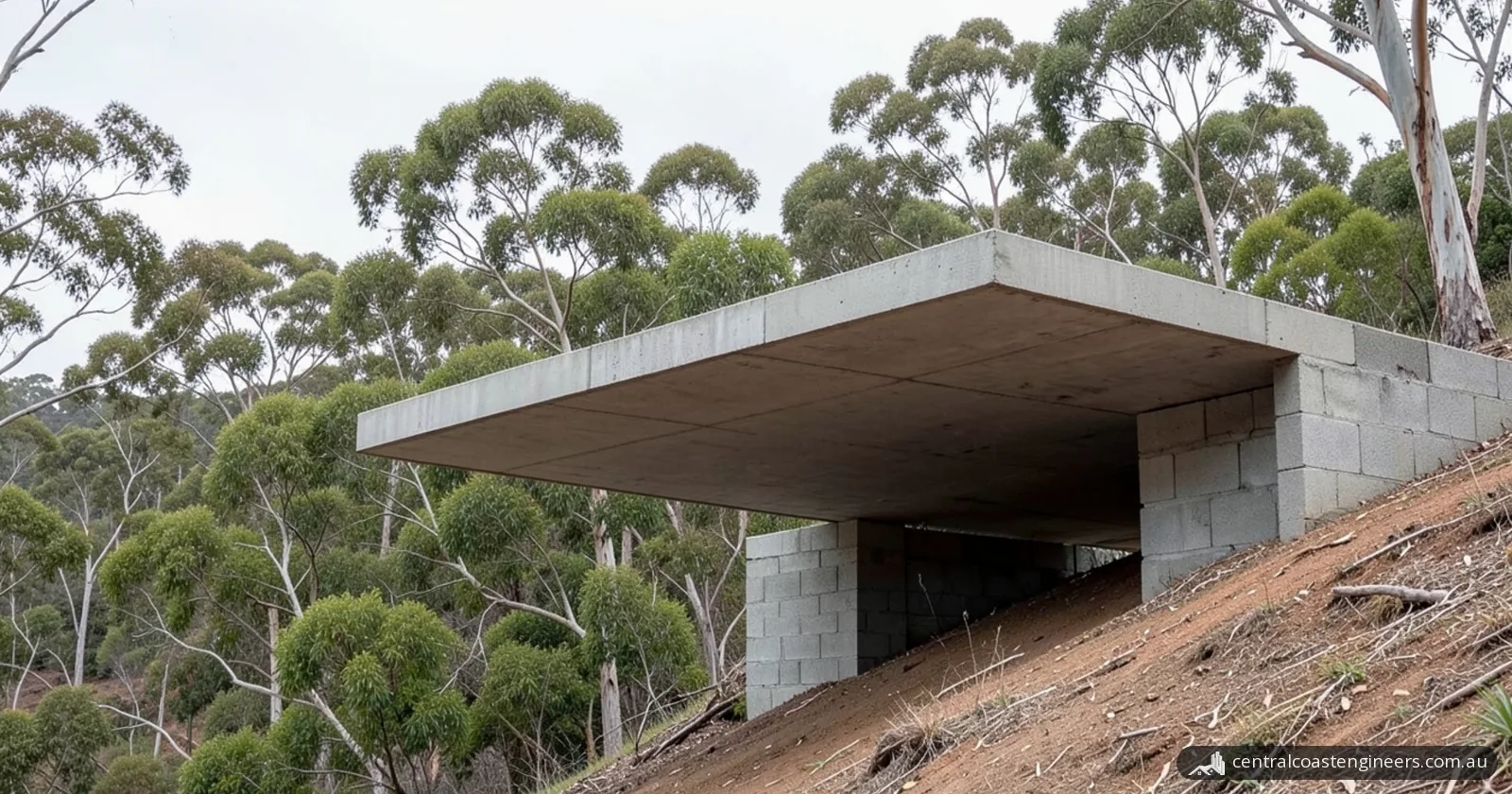
A house in a southern Central Coast coastal hazard area needs footings that bear safely below or beyond the calculated zone of reduced foundation capacity. The DCP defines these hazard areas partly as land where piling is required into the 2100 stable foundation zone. The DCP also says:
- the engineer must take into account the forces from coastal processes, possible dune slumping, loss of support, slope readjustment and a changing water table;
- the design must allow for storms larger than the design storm (about a 100-year average recurrence interval), because erosion, run-up and inundation may exceed it;
- an existing building can be redeveloped only if its foundations are shown to have been built to withstand the designated coastal processes and are certified by a coastal and structural engineer.
Piles involve a trade-off: the DCP notes the potential for piled foundations to increase hazards on neighbouring properties, which may not be piled.
What are the options for protecting a home from coastal erosion?
The options range from building further back or on deeper footings, to seawalls and sand nourishment, to retreat. Council says there is no single solution, and a combination of approaches is often required.
| Option | What it does | Central Coast rule or limit |
|---|---|---|
| Build further landward | Keeps new buildings back from the hazard | Required in the Southern Area: landward of the coastal building line (DCP) |
| Piles or deeper footings | Founds the house beyond the ground that erosion can undermine | Safe bearing below or beyond the zone of reduced foundation capacity (DCP) |
| Higher floor levels | Keeps habitable rooms above wave run-up and inundation | Habitable floors not lower than the Immediate Wave Run-Up Height; in southern inundation areas, 0.5 m freeboard above the 1% annual exceedance probability maximum wave inundation level (DCP) |
| Relocatable works | Lets a building be moved back later | May be considered on merit in the Northern Area risk zones (DCP) |
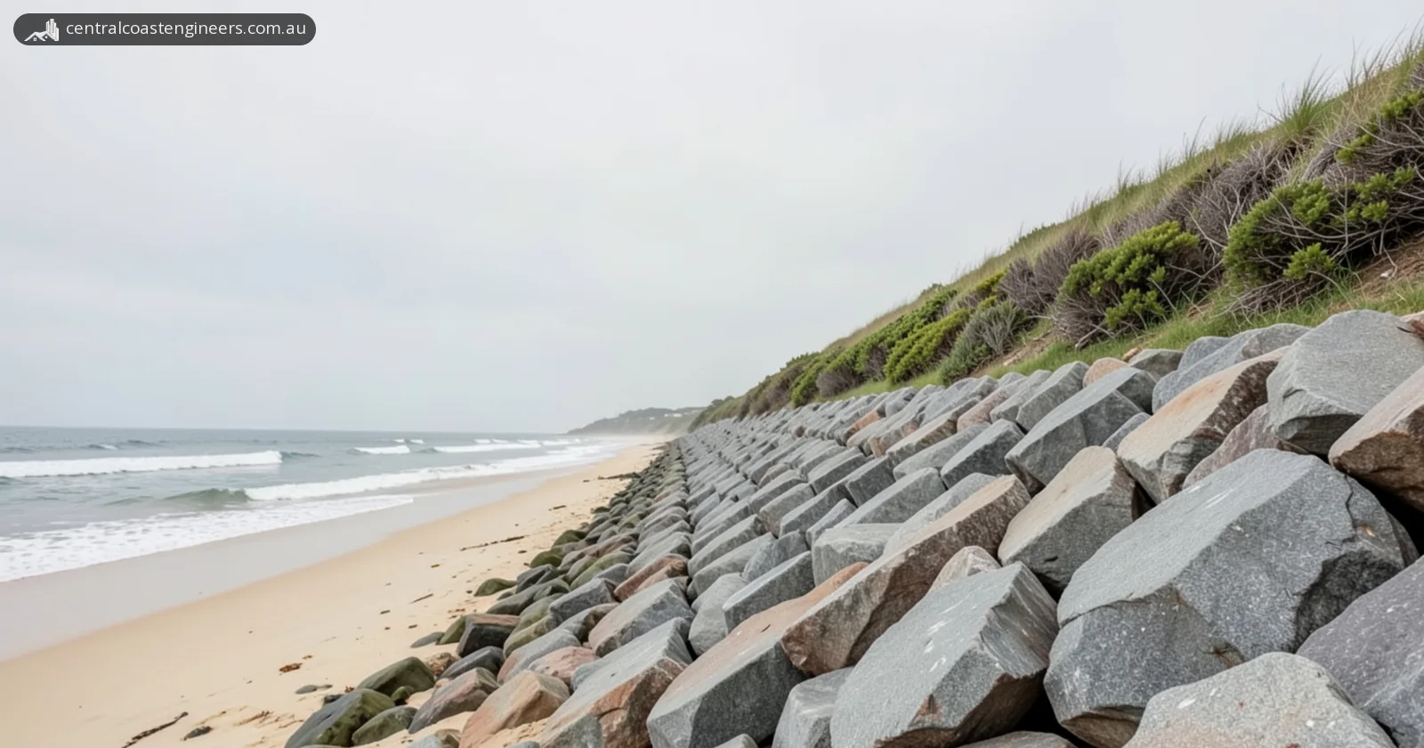
| Seawall or rock revetment | A last line of defence for assets behind it | Needs development consent on private land (Council) |
| Sand nourishment | Rebuilds beach width and volume with compatible sand from elsewhere | Under current NSW law, marine sand can only be used for a public purpose (Council) |
| Dune stabilisation and revegetation | Stabilises and replants the dune | A form of coastal protection works (Council) |
| Retreat or relocation | Moves buildings and services inland over time | May be necessary in future at the highest-risk areas, such as Wamberal (CMP) |
At Wamberal, the Hunter and Central Coast Regional Planning Panel refused all three DAs for a seawall in June 2026. Council has also applied to the NSW Reconstruction Authority (in May 2026, updated in July 2026) for authorisation of sand nourishment underpinned by a sloping rock revetment. Our seawall guide covers seawall design, approvals and repair.
When to call a structural engineer
Call a structural engineer when erosion could reach a house's footings, or when Council needs a structural design for work in a coastal hazard area:
- you're buying a beachfront or dune-top home and want its structure checked (see our pre-purchase and general building inspections);
- after a storm, the erosion scarp is closer to the house, or decks, pools, fences or paving have cracked, tilted or lost support;
- you plan to build, extend, add a pool or rebuild in a mapped hazard area, where the DA may need a structural engineering report alongside the coastal and geotechnical reports (see our structural drawings for new builds, extensions and alterations);
- you want to reuse existing footings, which the DCP allows only with a coastal and structural engineer's certification.
Frequently asked questions
Who is responsible for protecting a private home from coastal erosion?
The landowner. Central Coast Council says it is not responsible for protecting private land; its role covers coastal management programs, public land, planning advice and supporting emergency services. For the Wamberal seawall proposal, Council says private owners pay for DA preparation, construction and maintenance of the sections on their land.
What should I do if erosion reaches my property?
Follow the advice of emergency services. NSW SES says to report erosion scarps to your council early and, afterwards, to have damaged structures assessed by qualified professionals. Call NSW SES on 132 500 for emergency help in a flood, storm or tsunami.
Is coastal erosion getting worse in NSW?
The NSW Government projects that it will. Its 2025 snapshot says about 660 NSW buildings are exposed to erosion at a 1% annual exceedance probability now. By 2100 that is projected to rise to about 2,460 under a low-emissions scenario and more than 5,300 under a very high-emissions scenario.
How fast is Wamberal Beach receding?
Central Coast Council puts natural recession at Wamberal at 20 cm a year. It says about 78,000 cubic metres of sand would be needed every 10 years to make up for that recession, whichever seawall option is chosen.
Sources
- Central Coast Council: Coastal Erosion on the Central Coast
- Central Coast Council: Coastal Erosion, Wamberal Beach
- Central Coast Council: Development Control Plan 2022, Chapter 3.2 Coastal Hazard Management
- Central Coast Council: Central Coast Open Coast Coastal Management Program (certified 2026)
- NSW Department of Climate Change, Energy, the Environment and Water: Coastal Erosion Snapshot (November 2025)
- NSW Department of Planning: Planning circular PS 21-009, Planning for coastal hazards
- NSW Department of Planning: Planning circular PS 21-033, Planning certificates: coastal hazards
- NSW SES: Coastal erosion